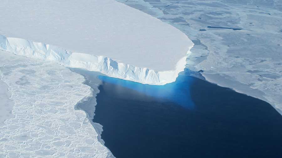
Boulder, Colorado – A new research released with the help of NASA’s scientists and the National Snow and Ice Data Center (NSIDC) indicates that the Arctic sea ice reached its fourth lowest extent record in history on September 11. According to NSIDC, the sea ice drop to 4.4 millions km2 (1.7 million square miles).
NSIDC reported through their official website the details about the research of the Arctic sea ice current state. The data provided shows how in the Antarctic, the sea ice reached its lowest and fourth extent record since 2012. This fourth extent fall sustained the theory that the ice tends to decay in long-term periods. Arctic sea ice extent has been in a constant disintegration since 1970, Live Science stated.
“This is undoubtedly an indicator of climate change. Even though it’s the fourth lowest on record it’s an ongoing downward trend that has been monitored for many years. For sea ice to melt you need a warmer atmosphere and a warmer ocean so these changes reflect the changes in the ocean and the atmosphere.” Dr Jeremy Wilkinson, senior scientist at the British Antarctic Survey said.
How does this happen?
The research presented by both institutions, NASA and NSIDC revealed that this circumstances, happens in precise years that the summer atmospheric circulation over the central Arctic Ocean is ruled by an unusual high atmospheric pressure, or -as they suggested- anticyclonic conditions.
For those who don’t know an anticyclone is a weather phenomenon that has been defined as a large-scale circulation of winds around a central region of high atmospheric pressure, clockwise in the Northern Hemisphere and counterclockwise in the Southern Hemisphere. So, the Arctic sea ice melt, occurs due to the anticyclonic conditions that usually bring sunshine and warm days.
On the other hand, when the atmospheric circulation over the central Arctic Ocean is way more cyclonic, which means that there is a peculiarly low pressure at the surface, thus the phenomenon brings more clouds, colder temperatures, and strong winds that spread the ice over a larger area, leaving no space for melting.
In addition, scientist also pointed out that a variation in wind patterns or a period of late season melt could even pressure the ice extent to a lower point. However, as long as autumn and winter comes over, sea ice extent is expected to increase as it usually does.
“This year is the fourth lowest, and yet we haven’t seen any major weather event or persistent weather pattern in the Arctic this summer that helped push the extent lower as often happens. It was a bit warmer in some areas than last year, but it was cooler in other places, too.” said Walter Meier in a press release. Meier is a sea ice scientist with NASA’s Goddard Space Flight Center in Greenbelt, Md, Living Science reported.
Source: NSIDC