Through a press release, Planet Labs announced an agreement held with Google to negotiate the acquisition of Terra Bella, including the SkySat satellites.
Google will then start buying satellite images from Planet Labs after signing a multi-year contract. Planet Labs spokesman Will Marshall delivered a statement, expressing the company-wide excitement for acquiring one of Google’s most useful branches for the digital imaging of Earth, alongside a high-resolution satellite array that will add 7 new pieces to Planet Labs’ 60-satellite fleet, capable of achieving medium-resolution captures.
A company to image the whole planet
Planet Labs has already been able to profit greatly from its medium-resolution imagery, as they reported a surplus on their revenue goals for 2016. Planet Labs started in 2013 with just one satellite, and now they have dozens more, all directed toward the objective of “image the entire Earth every day.”
Terra Bella scientists will join Planet Labs, and Google will continue working as a close commercial and technological ally. According to Jen Fitzpatrick, Google’s Vice-president of Product and Engineering, Terra Bella is a match with Planet Labs, seeing that both companies have achieved great success in the past two years.

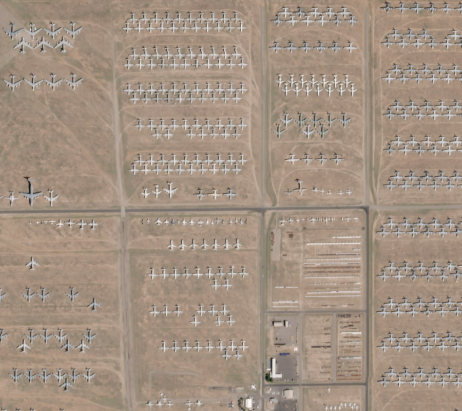
Last Friday, Planet Labs announced to be planning the launching of 88 satellites, becoming the largest fleet of satellites ever launched in history. The launch will be staged in Sriharikota, India, aiming for a 500 km altitude. It is expected to take place on February 14.
On the other hand, Terra Bella is how Google tackles the search for patterns of change in the physical world. The company claims that this would help to understand environmental and economic challenges by imaging world-scale trends and visible changes.
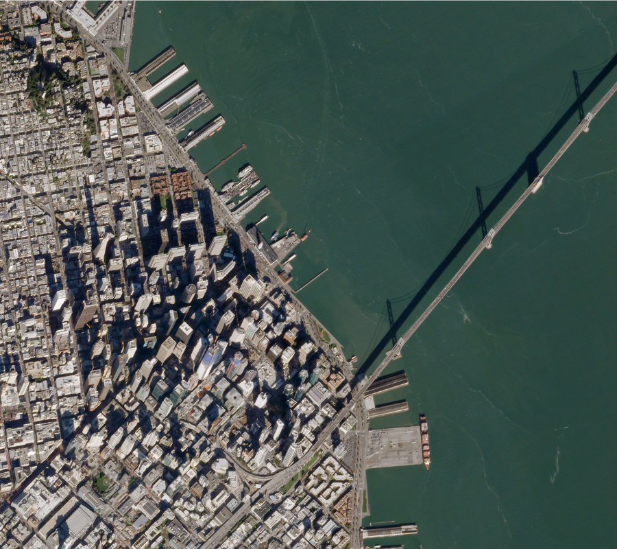
Terra Bella’s website showcases how the company tackles its observation projects. Some include overseeing maritime supply lines to anticipate changes, delays, and other events in ports and docking stations. This could help measure global economic indicators, which would be valuable to hedge fund traders and market operators, allowing them to spot inefficiencies and bottlenecks.
There’s also the proposal to aid in emergency and disaster relief, where immediate satellite imagery can provide information to emergency responders, easing the task of assessing damage and providing assistance in natural disasters. A third project shows how Terra Bella monitors mining development in Oyu Tolgoi, Mongolia.
On the mine, high-resolution satellite imagery would create a record of how infrastructure changes and where is a higher degree of opportunity or risk. It would also allow construction companies to systematically track how their projects are taking place as they evolve in remote areas. The Oyu Tolgoi gold and copper ore mine in Mongolia is showcased on the page; it will become Mongolia’s most ambitious financial project. After its completion, the mine is expected to represent at least 30 percent of the country’s GDP.
Source: Planet Labs